
How to Identify the Most Common Cloud Types
You do not need to estimate an exact cloud height or memorize every Latin name to make a useful cloud identification. Start with three visible questions: is the cloud mostly a layer, a collection of separate he

You do not need to estimate an exact cloud height or memorize every Latin name to make a useful cloud identification. Start with three visible questions: is the cloud mostly a layer, a collection of separate heaps, or a thin high veil? Then record the features that led you there. If the answer remains uncertain, “uncertain, with a written description” is a better observation than a confident wrong label.
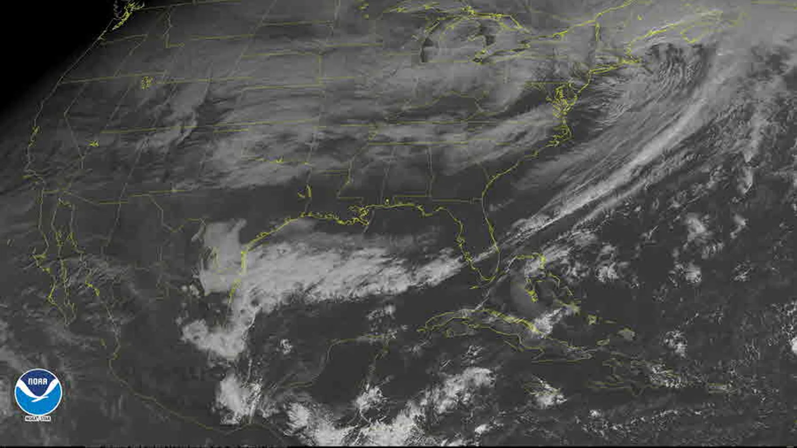
Cloud names classify visible forms; they do not function as a short-range forecast code. For future weather and safety decisions, use the forecast and warnings issued by the responsible local authority.
Begin with form, not a name
Look for the cloud’s overall structure before looking up a label.
- A layer spreads across a broad area and often has no clearly separated individual elements.
- A heap has separate rounded pieces, even when those pieces join into a larger field.
- A veil or filament is thin, fibrous, or translucent enough that the sky or Sun may remain visible through it.
- A tower has obvious vertical growth: its top rises above its base rather than merely extending sideways.
The World Meteorological Organization’s International Cloud Atlas organizes commonly observed cloud forms into genera, then adds species and varieties for further visible detail. For a beginner journal, the genus is usually the right stopping point. Do not force a species or variety when your view is brief, obstructed, or changing quickly.
Separate high, middle, and low appearances cautiously
Clouds are commonly discussed as high, middle, or low, but a person on the ground is usually judging apparent height rather than measuring it. Use these descriptions as clues, not measurements.
High-looking clouds are often thin, white, and fibrous. They may appear as streaks, hooks, or a milky veil. Middle-looking clouds can form patches or rolls whose individual elements are visible but smaller than the rounded lumps of many low clouds. Low-looking clouds often have larger elements, darker bases, or a broad grey layer that appears closer to buildings and hills.
Perspective can mislead. A distant low cloud may look small; a nearby middle cloud may look large. When height is unclear, write “apparent height uncertain” and focus on the form, coverage, colour, and change. Your note remains useful without pretending to know a height from a single view.
Recognize the common layer clouds
Stratus is a low, fairly uniform layer. It can resemble lifted fog and may hide a blue sky almost completely. Its base often looks flat or gently uneven rather than made of separate puffs.
Stratocumulus is also low and layered, but it has rounded rolls, patches, or joined lumps. Look for a broad field with visible texture: the elements are connected enough to feel like a layer, yet distinct enough to show shape.
Altostratus is a more uniform grey or bluish sheet at an apparent middle level. The Sun may show as a vague bright area rather than a sharp disk. It can be difficult to distinguish from a thick high veil or a low stratus layer, so add the clues you used rather than relying on the name alone.
Nimbostratus is a thick, widespread precipitation-bearing layer. Do not identify it solely because rain is falling: write both the observed precipitation and the cloud appearance. If you cannot see the structure because of rain or poor visibility, say so.
Recognize heaps and vertical development
Cumulus clouds have rounded tops and relatively distinct bases. Small fair-weather cumulus can look like separate white heaps with blue sky between them. Their visible shape—not a promise of pleasant weather—is the reason for the label.
When cumulus develops pronounced vertical extent, record the change plainly: “separate heaps now show taller cauliflower-like tops.” That wording is more durable than immediately diagnosing a storm. Cumulonimbus is a thunderstorm cloud, but a reliable identification needs more than one impressive tower. A dark base, marked vertical growth, an anvil-like upper form, precipitation shaft, or thunder are observations worth writing separately. If thunder is heard or hazardous weather is possible, stop treating the exercise as cloud identification and follow official safety information.
Altocumulus often appears as a field of smaller rounded patches at an apparent middle level. The elements usually look smaller and more finely textured than nearby stratocumulus. But size alone is not decisive: a wide-angle phone image, an obstructed horizon, and perspective can all change apparent size.
Recognize high, thin clouds
Cirrus consists of detached, hair-like or feather-like white filaments. Cirrostratus is a thin, widespread veil that can produce a halo around the Sun or Moon. Cirrocumulus can appear as small ripples or grains across a high-looking sky.
These names are useful descriptions, not a timetable. A halo, for example, is a visible optical feature; it is not a self-contained promise that rain will arrive at a particular hour. Record the feature, the time, the amount of cloud cover, and any later change. The separate article on thickening clouds addresses why observations and forecasts must remain distinct.
Use an uncertainty checkpoint
Before entering a cloud name, ask four questions:
- Did I see a layer, separate elements, filaments, or vertical growth?
- Which two visible details support the label?
- What might make the label unreliable—poor light, a blocked view, rain, or a rapidly changing sky?
- Can I write the observation without claiming a future outcome?
If question two or three has no honest answer, write a descriptive note instead. For example: “Grey sheet covered about seven-eighths of the sky; lower edge uneven toward the north; apparent height uncertain; no precipitation at 16:20.” This is a successful observation. A photograph from the same viewpoint can help later, but it should accompany the date, direction, and written context.
Deal with the confusing cases
Several pairs repeatedly confuse beginners. Stratocumulus and altocumulus can both form rounded fields; first decide whether the elements look broad and low or smaller and more finely textured, then retain your uncertainty. Stratus and fog can also be hard to separate when a low layer reaches nearby ground. From a single elevated window you may not be able to determine that boundary, so write what is visible rather than guessing.
Aircraft condensation trails deserve their own note. They can resemble cirrus after spreading, but a trail often has a visible straight origin or a relationship to passing aircraft. Record “linear trail spreading into a thin veil” if that is what you saw. Do not treat the source of a cloud-like feature as proof of a particular cloud genus.
Light changes colour and contrast. Near sunrise or sunset, a cloud base can look dark because it is backlit, not because it is especially thick. On hazy days, a white cloud may look grey at distance. These are reasons to write the lighting condition—“low Sun behind cloud” or “hazy western horizon”—beside your description. They are not reasons to abandon the observation.
Try a five-minute field record
Stand where you have a safe, wide view. Note the local time and direction. Spend one minute looking at the whole sky, one minute at the dominant form, one minute at cloud amount, one minute at changes near the horizon, and one minute writing uncertainty or obstructions.
A completed record might read: “08:10 local time, looking southwest from an open path. About half the sky covered by joined rounded grey-white patches; individual elements visible, no vertical towers; likely stratocumulus, identification moderately confident. Blue gaps widening near the west. No rain observed.” The useful part is not the word stratocumulus alone. It is the visible basis, amount, direction, time, and confidence.
With practice, your journal will accumulate comparisons: the same viewpoint in different seasons, a layer that remained uniform, a field of cumulus that changed shape, or a cloud type you could not identify. Keep those records as observations. Let forecasts, warnings, and professional analysis do the different job they are designed to do.