
See patterns on weather maps.
Read a radar or map in a sensible order: product, time, location, scale, then movement. The goal is a defensible interpretation, not false precision.
Browse all guides →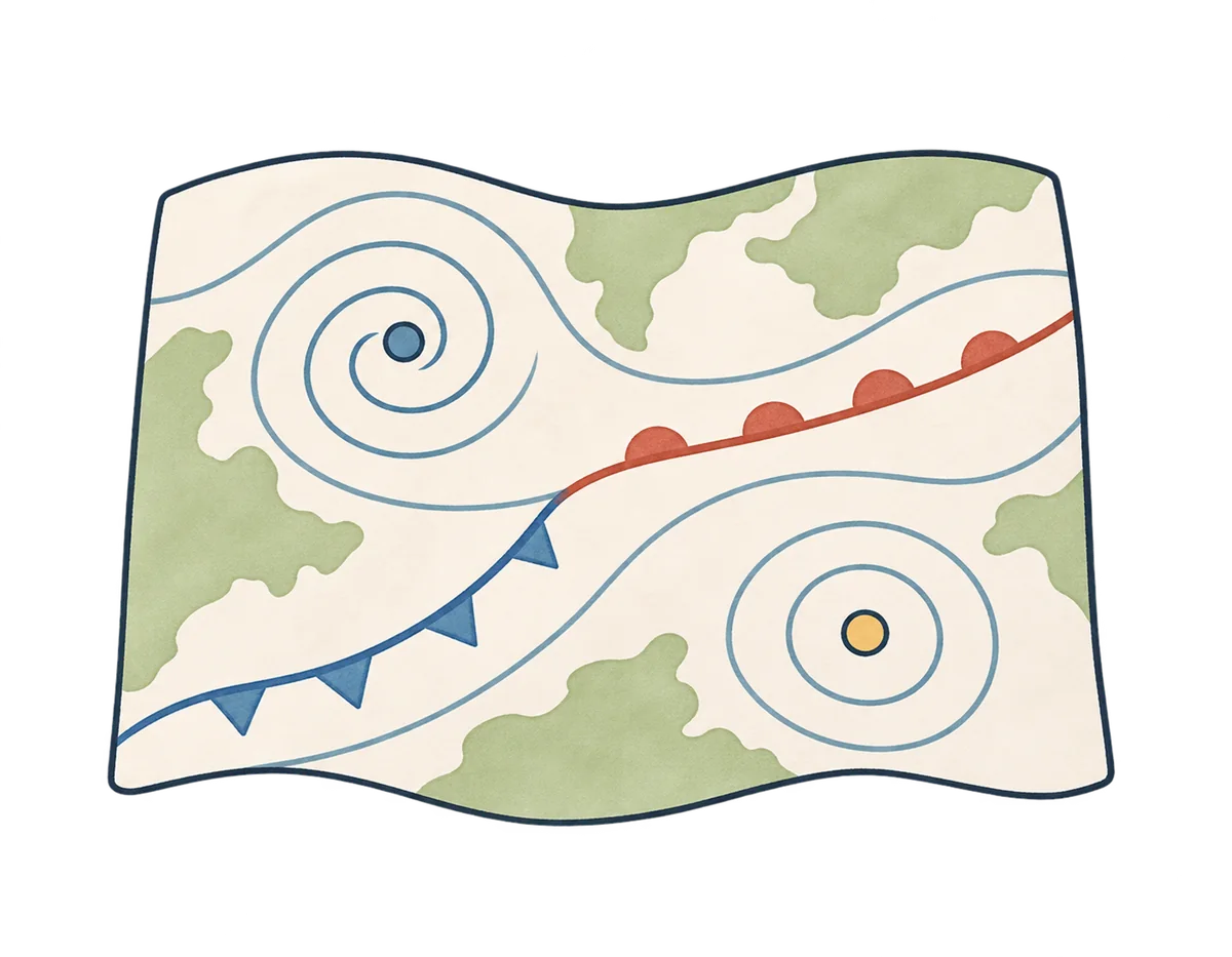
Guides in this section
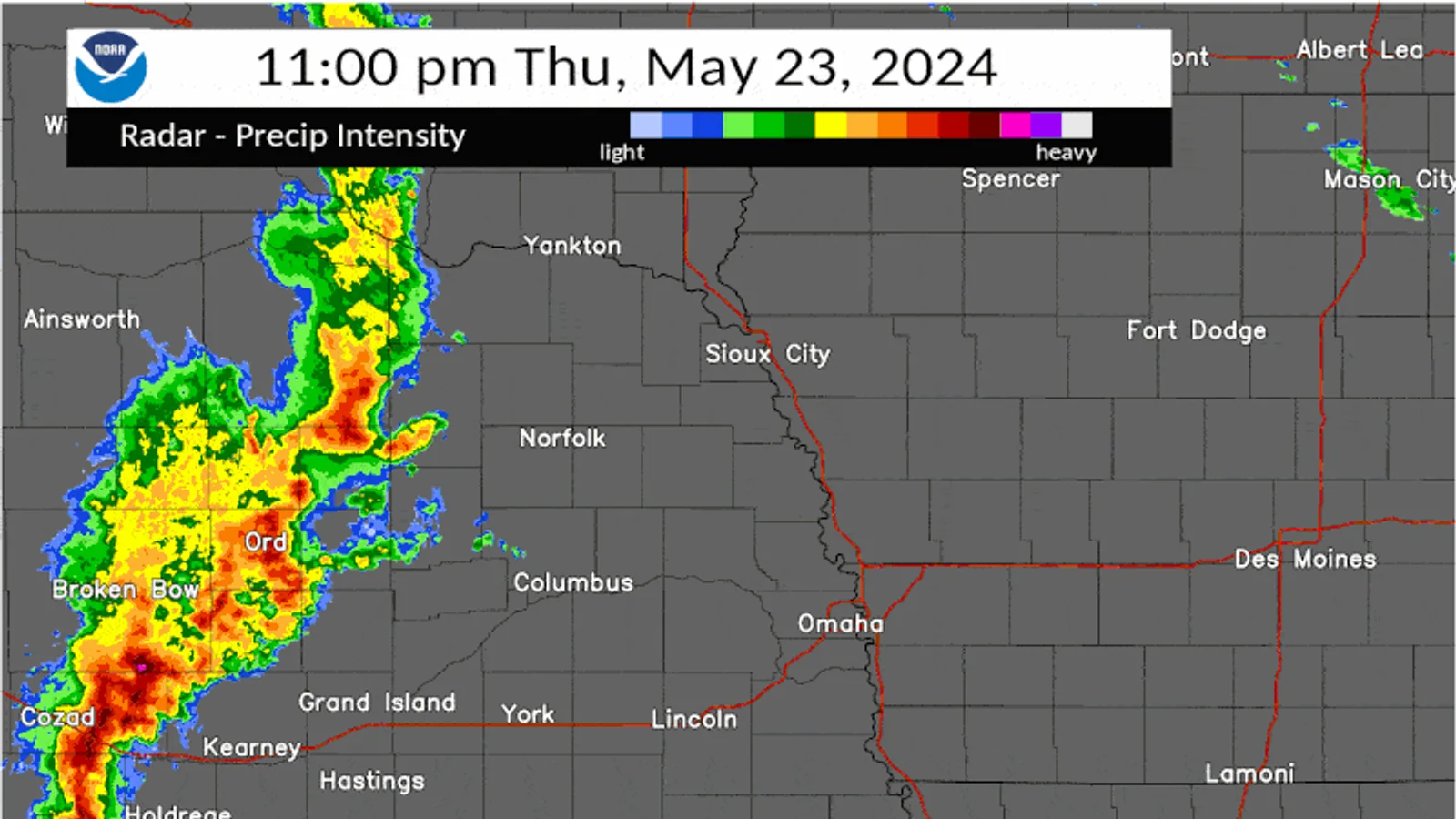
How to Read a Basic Weather Radar
Read a weather-radar image in this order: identify the product, check its timestamp, locate the area, read the scale, then compare several frames. A coloured echo is evidence of returned radar energy, not a dir
Photo: NOAA / National Weather Service · Public domain (U.S. government work)Read the guide →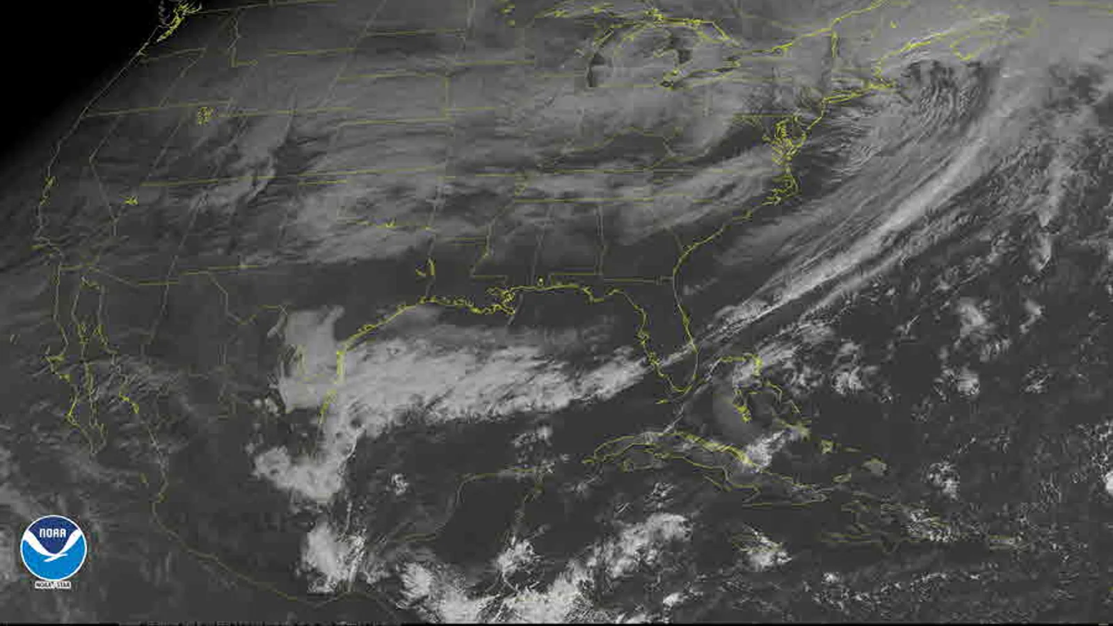
How to Read a Basic Weather Satellite Image
A weather satellite image becomes easier to read when you identify the product before interpreting the pattern. Start with four checks: which channel is shown, when the image was made, what area it covers, and
Photo: NOAA / National Weather Service · Public domain (U.S. government work)Read the guide →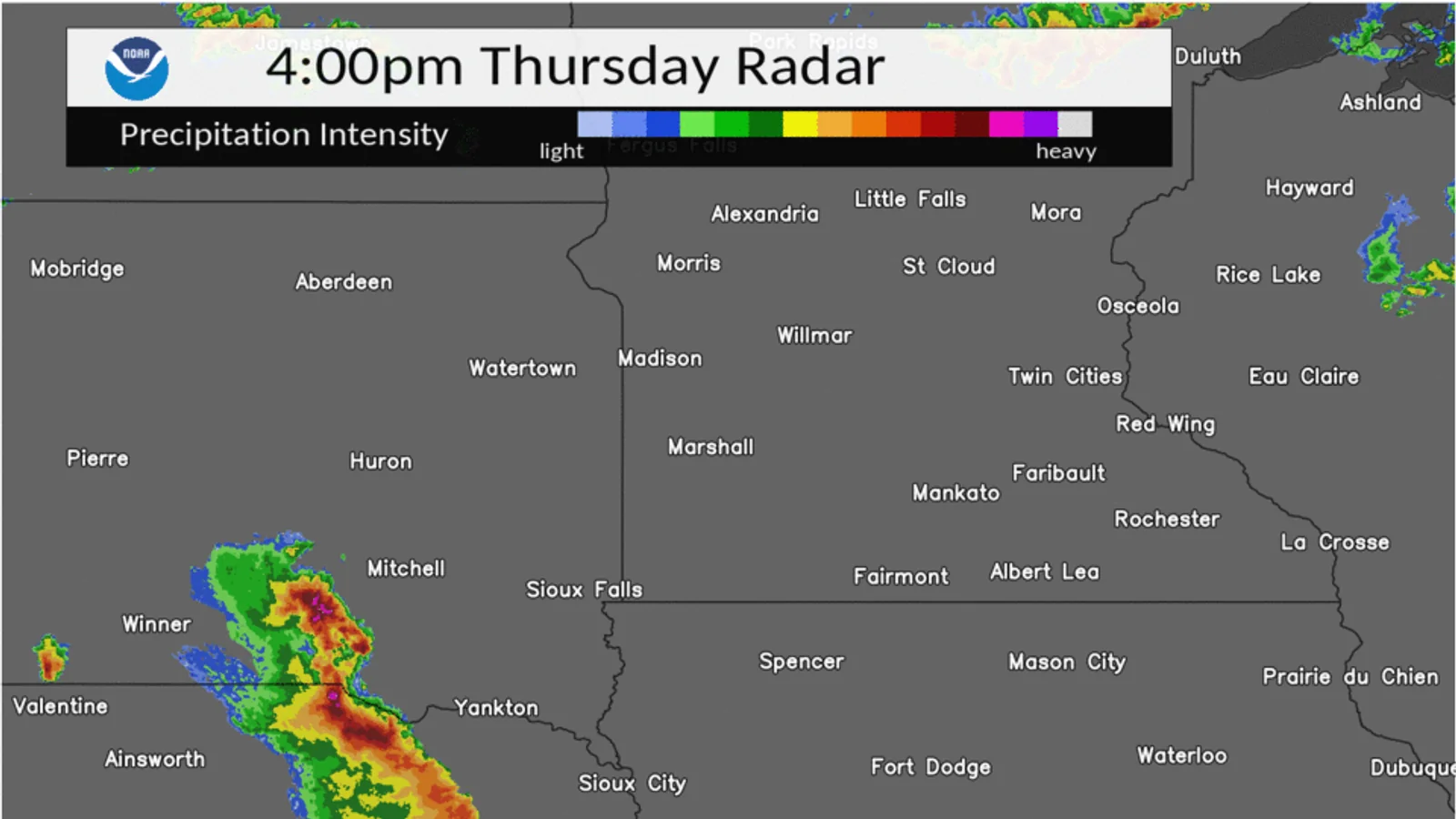
Before You Interpret a Weather Map: Check the Time, Source, and Product
Before you read a colour, line, or symbol on a weather map, write down three things: **the time**, **the source**, and **the product**. Those checks tell you whether the image is an observation, an analysis, a
Photo: NOAA / National Weather Service · Public domain (U.S. government work)Read the guide →